MySOYL combines the functionality of a field-scouting app with intuitive access to detailed field data, giving growers unparalleled insight into their crop performance.
Farm Data
The MySOYL mobile app makes all of your MySOYL field data accessible remotely and on-the-go.
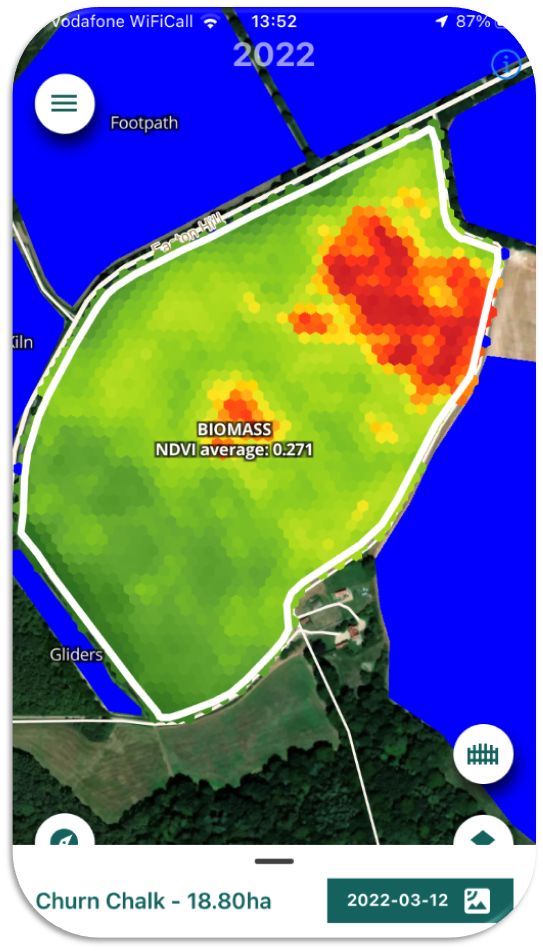
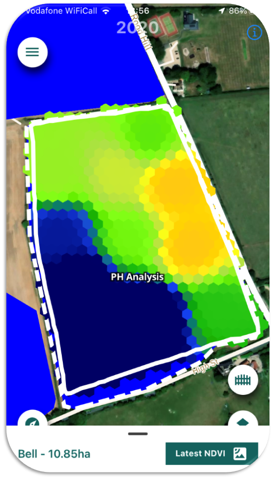
View your field data while crop walking - enjoy instant access to biomass imagery, soil nutrient maps, soil type maps, yield maps and environmental scheme maps
View any of this data overlaid as a map layer for the field you're standing in, so you can visualise your data in real-time.
These features enhance your insight into your land, allowing you to draw more informed conclusions about your crop performance.
Field-scouting features
The MySOYL mobile app includes a range of field-scouting tools for assessing crop performance and supporting environmental land management.
Record and capture field-walking observations, using GPS to log precise locations of all recorded activity
'Pin' points of interest, map areas and measure distances, while adding comments and photographs to share with agronomists and other staff
Create a portfolio of evidence for Stewardship schemes or agri-environment projects.
All scouted information is automatically synced with the MySOYL desktop application and can also be integrated directly with MySOYL application plans.
Subscription Information
Please take a look at the MySOYL page for information and pricing of subscription models.
Quick Start Guide
A Quick Start Guide is available to download here.Download the MySOYL app
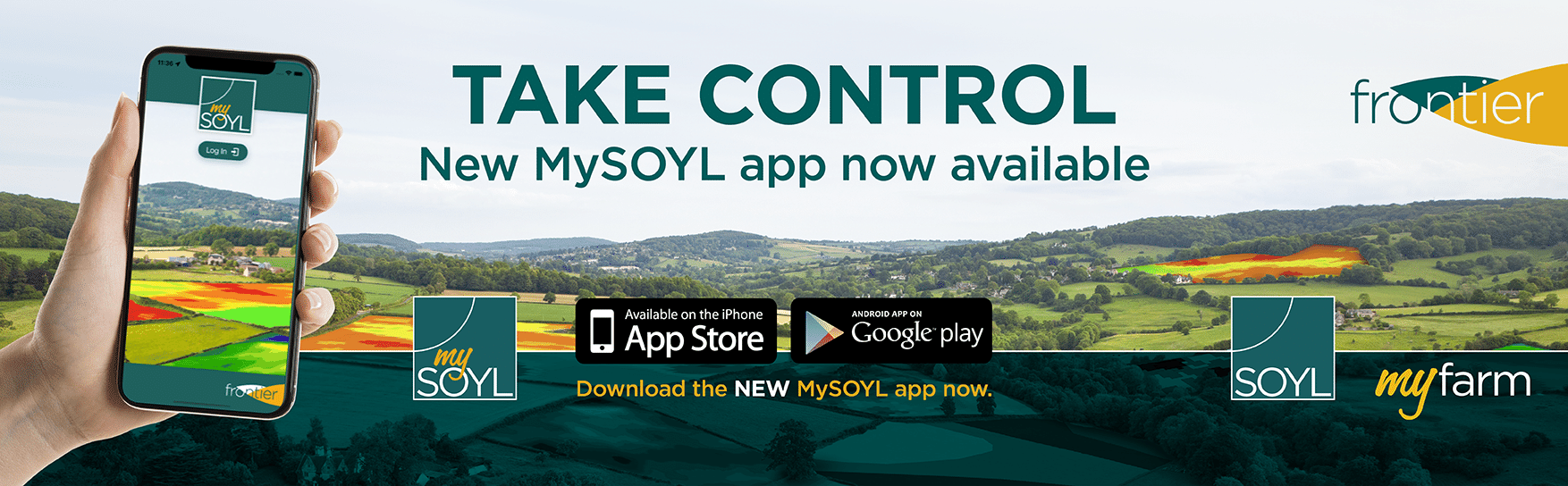
The mobile app is available on Android and iOS and can be downloaded from the Apple App Store or Google Play Store onto your mobile device.